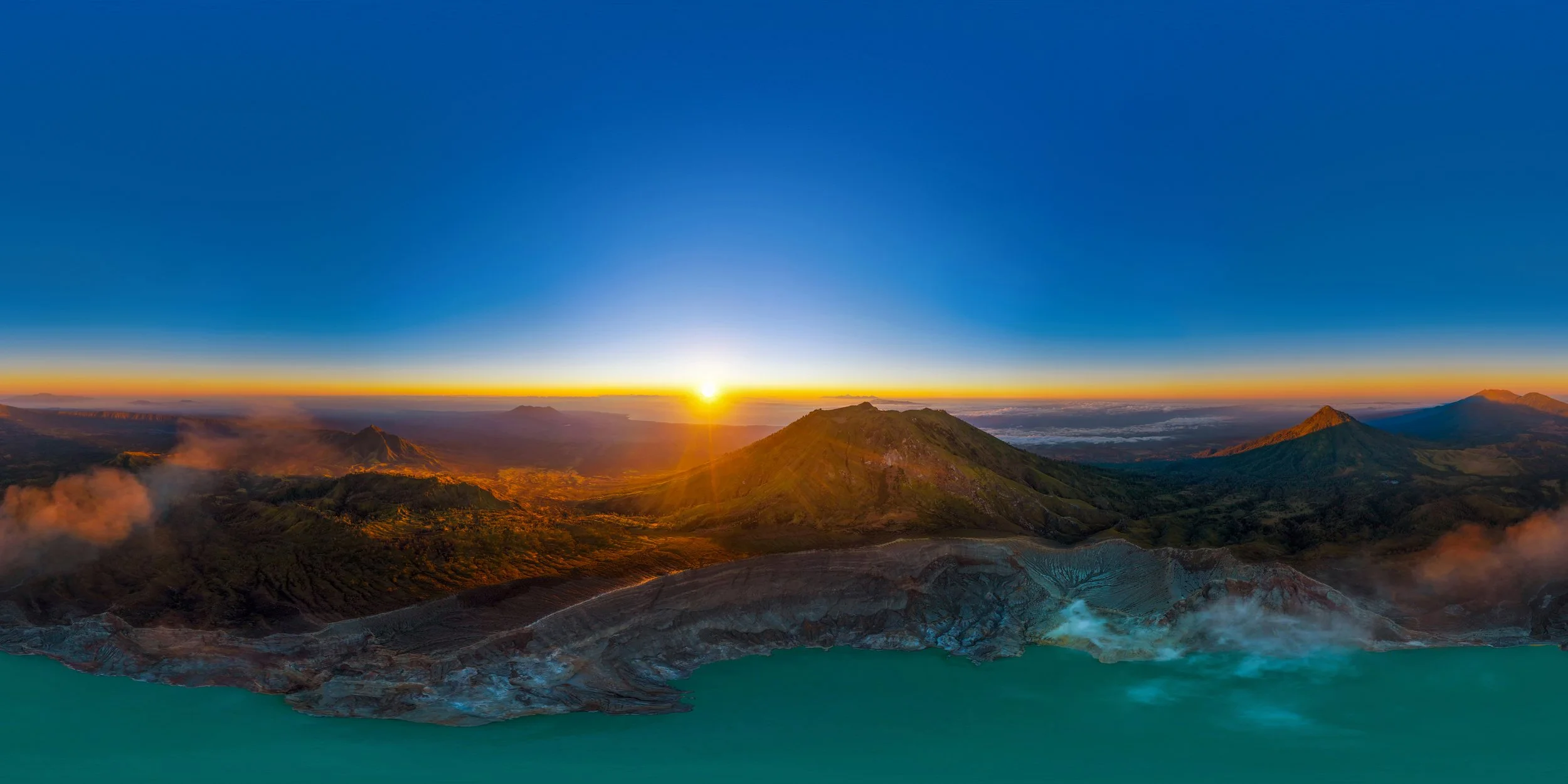
Wherever in the world -Whenever you need it.
Aerial Views by Plex-Earth gives architects and engineers the complete 3D geographical view of their project area, with imagery and data from Airbus, Maxar, Nearmap, Hexagon, Inflights, Google Maps and more.
Features Overview
Google Maps' familiar and vivid images
Access vivid, high-resolution imagery directly within Autodesk Forma.
Ensure your designs are based on the most accurate and up-to-date satellite images from Google Maps, streamlining your workflow.
Retrieve imagery from as recent as 2 days ago to over 10 years in the past
Analyze recent and historical changes to make informed decisions:
Understand the evolution of your project area and plan for future developments,
Track environmental changes and assess the impact of past projects,
Oversee your projects' (or even your competitor's) progress, and many more applications!
Vast historical datasets that span from even just 2 days to more than 10 years back.
Sub-3" Nearmap imagery (left) vs. default Mapbox imagery in Forma (right)
Preview High-Resolution premium Imagery
Experience the unparalleled quality and detail of premium true-ortho imagery, down to 5.5 cm per pixel, enhancing the clarity and accuracy of your designs and boosting their visual appeal.
Frequently Asked Questions
How can I add Aerial Views extension in my Forma project?
To add Aerial Views to your Forma project, follow these simple steps:
- Open your Forma project.
- Select ‘Extensions’ from the left panel.
- Search for Aerial Views by Plex-Earth and add it to your project.
In how many Forma projects can I use it?
You can use Aerial Views by Plex-Earth in as many Autodesk Forma projects as you want. Each project requires individual activation:
- The first time you use it in a project, enter your email address.
- Check your email for an activation code (make sure to check your spam folder). Copy and paste the code into the "Activation Code" field in Aerial Views.
If you don’t have an account yet, sign up here.
Is Aerial Views by Plex-Earth free, or do I need to pay for the extension?
Aerial Views by Plex-Earth is completely FREE for Autodesk Forma users!
This extension gives you free access to high-resolution imagery from Google Maps, Azure Maps, and historical imagery from Airbus and Maxar. Additionally, you can preview premium imagery from Nearmap and Hexagon for a limited number of projects. Full access to premium imagery will be available for purchase soon.
How large an area can I import?
The Basemap and Historical imagery cover your entire project area. However, previews from premium providers are limited to approximately 6 hectares (14 acres).


